Sharing an appreciation of nature through birding, geology, astronomy, plants and more in the North Quabbin area.
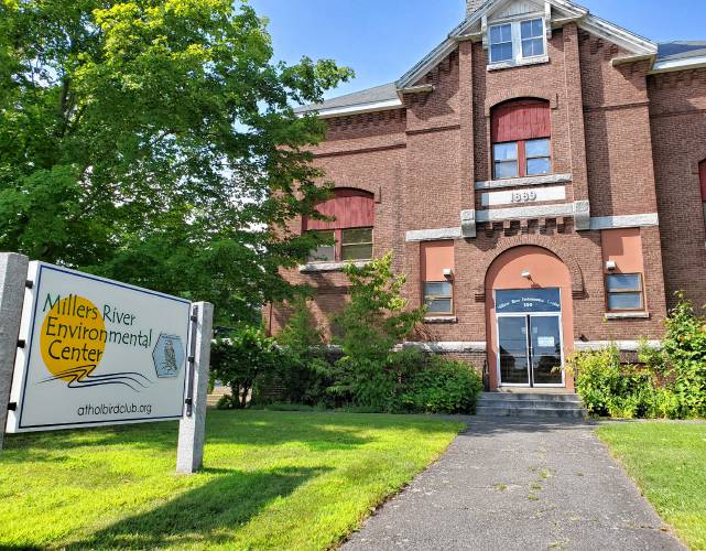
Come visit us at the Millers River Environmental Center! Learn about the CenterUpcoming Events
Become a Member
Get our email newsletter
Latest News from the Blog
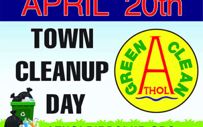
Green Clean Athol April 20th 9:00 – Noon
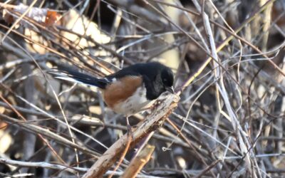
56th Athol Christmas Bird Count Results
The 56th annual Athol Circle Christmas Bird count was held on December 16th, 2023. This hemisphere wide event is sponsored by the National Audubon Society and locally directed by the Athol Bird and Nature Club. This year’s count broke the 2012 record of 70 species...
Upcoming ABNC Events
April 2024
Friday April 19
- 7:00 am – 8:00 am
-
Early Bird Birding with Jeff
Fridays April18, 26, May 3, 10, 17, 24 @ 7:00 am Early Bird Birding with Jeff
Join Jeff Johnstone here at the Center(100 Main Street Athol) before heading out to explore the North Quabbin areafor spring migrant birds. These are great events for the novice birder to learnfrom one of our best field naturalists. Come for as long as your scheduleallows. Severe weather cancels. Info: Jeff Johnstone, 978-249-9052.Recurs weekly - 9:00 am – 2:00 pm
-
Adams Farm Hawk watch
Daily March11 to May 12th, 2024. Eastern Massachusetts Hawk watch – returns toBearsden (Adams Farm) 9:00 – 2:00 daily weather permitting. Parking issomewhat limited. We try to carpool if possible. Bring plenty of warm clothes,mittens, masks, etc. and keep them in your vehicle as you will be exposed tocold, windy conditions. Restrooms are available at Bearden ConservationArea(port-pot) and Mike’s Convenience store just down the hill on Rt.2a. TheAdams Farm store has a fine selection of meat products, pasta salads,sandwiches, drinks if you have forgotten your lunch. There is also a MarketBasket, Dunkin’ Donuts, and a pizza joint nearby. The observation area isadjacent to the parking lot between the curb and the fence looking to the west.All observers are to make way momentarily for trucks entering or other businessactivities.
If you are interested in participating this spring, here isthe contact information. The same protocol will be in place regarding theweather. If rain is predicted, most likely we won’t conduct a Hawk Watch. Ifyou are unsure on days with showers predicted and no announcements are made,just contact me, Eric, or David to get the latest scoop,
Mark Morris
978-868-6354
Eric Mueller
978-337-9150
Dave Small
978-413-1772
Recurs daily - 4:00 pm – 6:00 pm
-
ABNC Geology Division
The ABNC Geology Division meets Fridays at 4:00 PM inthe “Quarry” located in the basement of the Millers River Environmental Center.To join the Geology email list or for more information contact Max MacPhee @ commustar@gmail.com
Recurs weekly
About ABNC
ABNC is an active group of people sharing an appreciation of nature’s many forms. We have birders, geologists, star watchers, and plant enthusiasts — a full spectrum of interests. If you have an interest in nature, whether a beginner or experienced observer, we welcome you.
Join us at our meetings, field trips, and institutes where you will find a friendly reception and people with similar interests. There are a lot of exciting programs scheduled for the months ahead — check our event schedule, or come by for a visit!
The Millers River
Environmental Center
The Athol Bird & Nature Club maintains the Millers River Environmental Center, which is now wheelchair accessible!